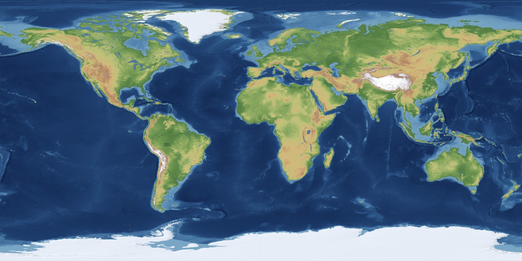
Land, ice and sea floor — one elevation field, pole to pole
A place is not a pair of numbers. It has a height, a coast, a climate, a border that has moved, a tide that turns and a horizon that decides when your sun actually rises. This is the layer that knows all of that — for anywhere on Earth, and for several other worlds besides.
Every layer is queried by point, by region or by whole plate. It is what turns “my city” into a real place with a height, a shoreline and a climate — and what gives every other page a real horizon to compute against.
Earth does not need a screen of its own, because it is already running behind all of them. It is what gives the Moon app a real horizon to rise over, Wake the right time zone to fire in, and Chores the coast that the sea breeze comes off. Ask any app where you are and this is what answers.
Earth’s object is the map. A plate is specified rather than picked off a rack: you name the centre, the span, the layers and the house style, and it is drawn to that specification at print resolution. The range is not a list of titles — it is every combination of the three choices below.
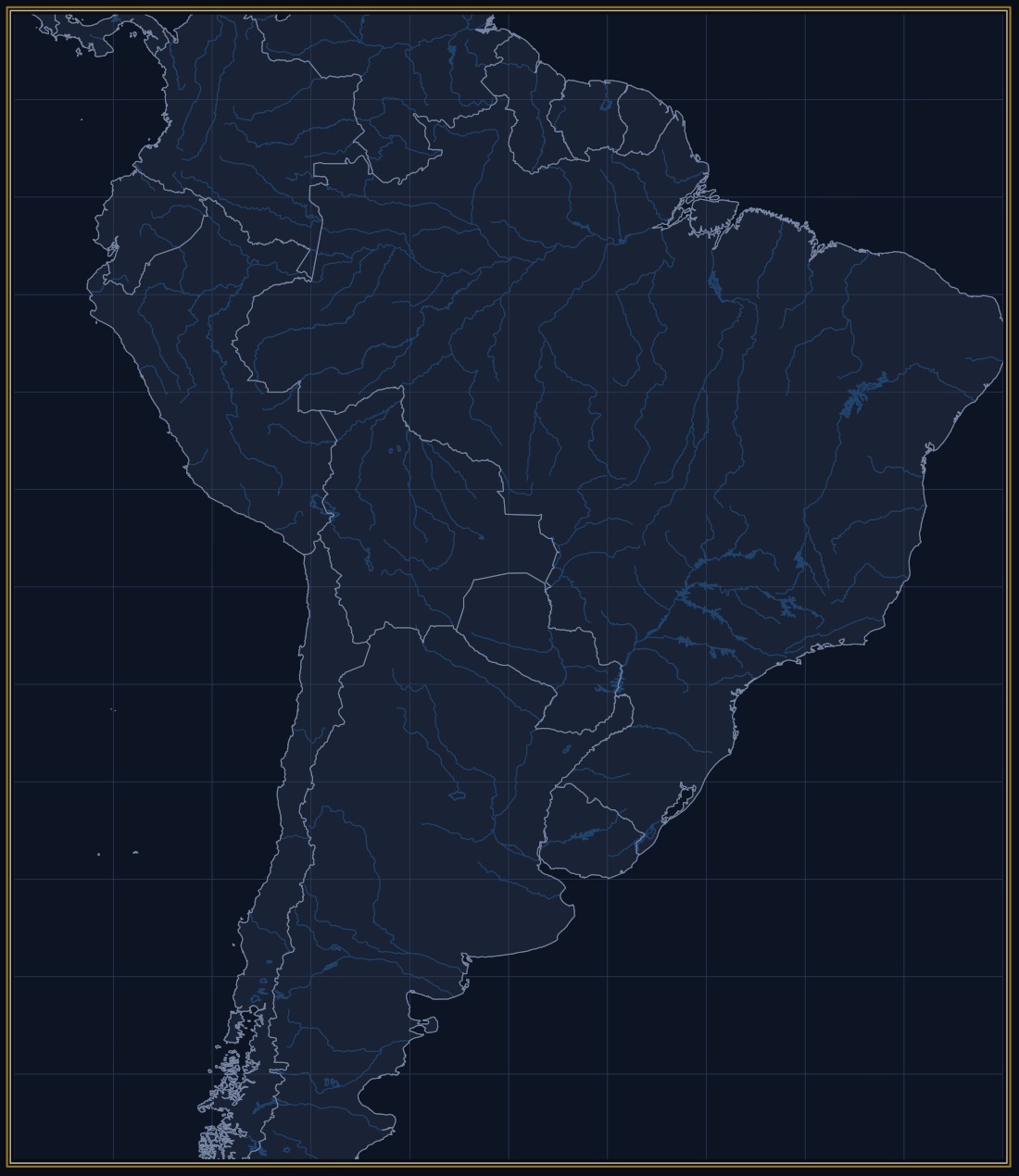
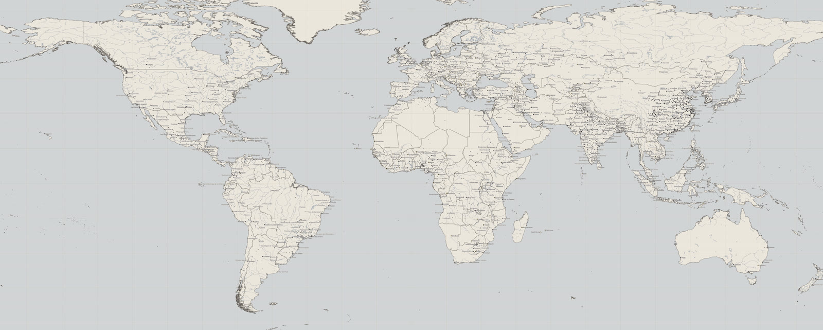
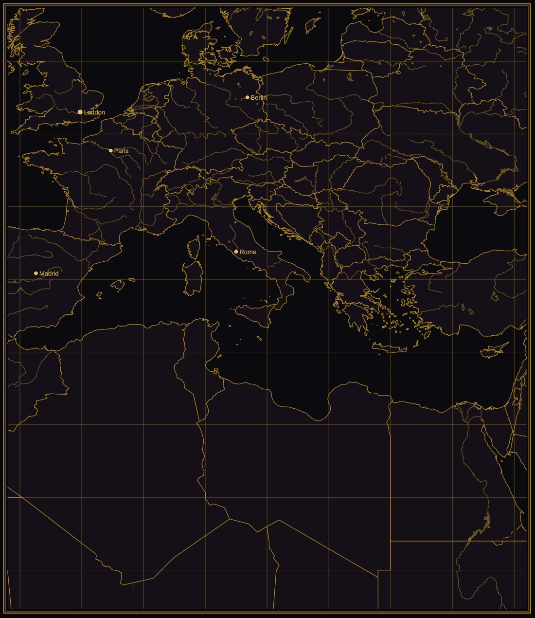
Each of these is a plate type, not a title. Every one of them can be centred anywhere, at any span, with the layers you want on it.
The style is a choice about what the map is for — a wall, a book, a study, a gift. These are six real plates, each one a different region so you can see the style rather than the place. Any style will draw any region.
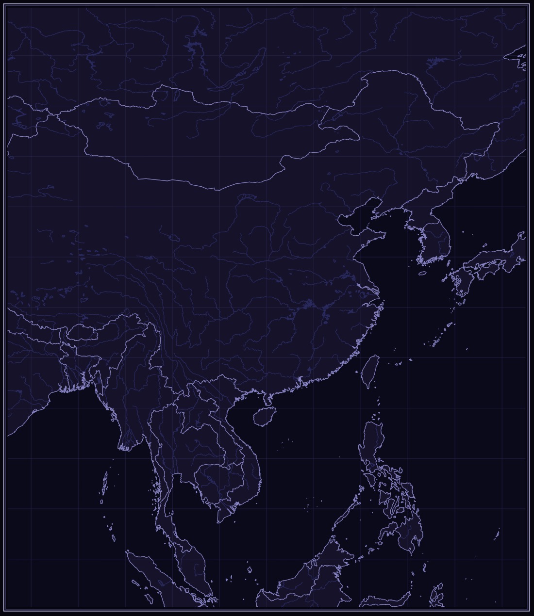
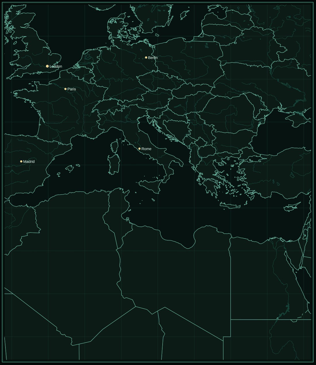
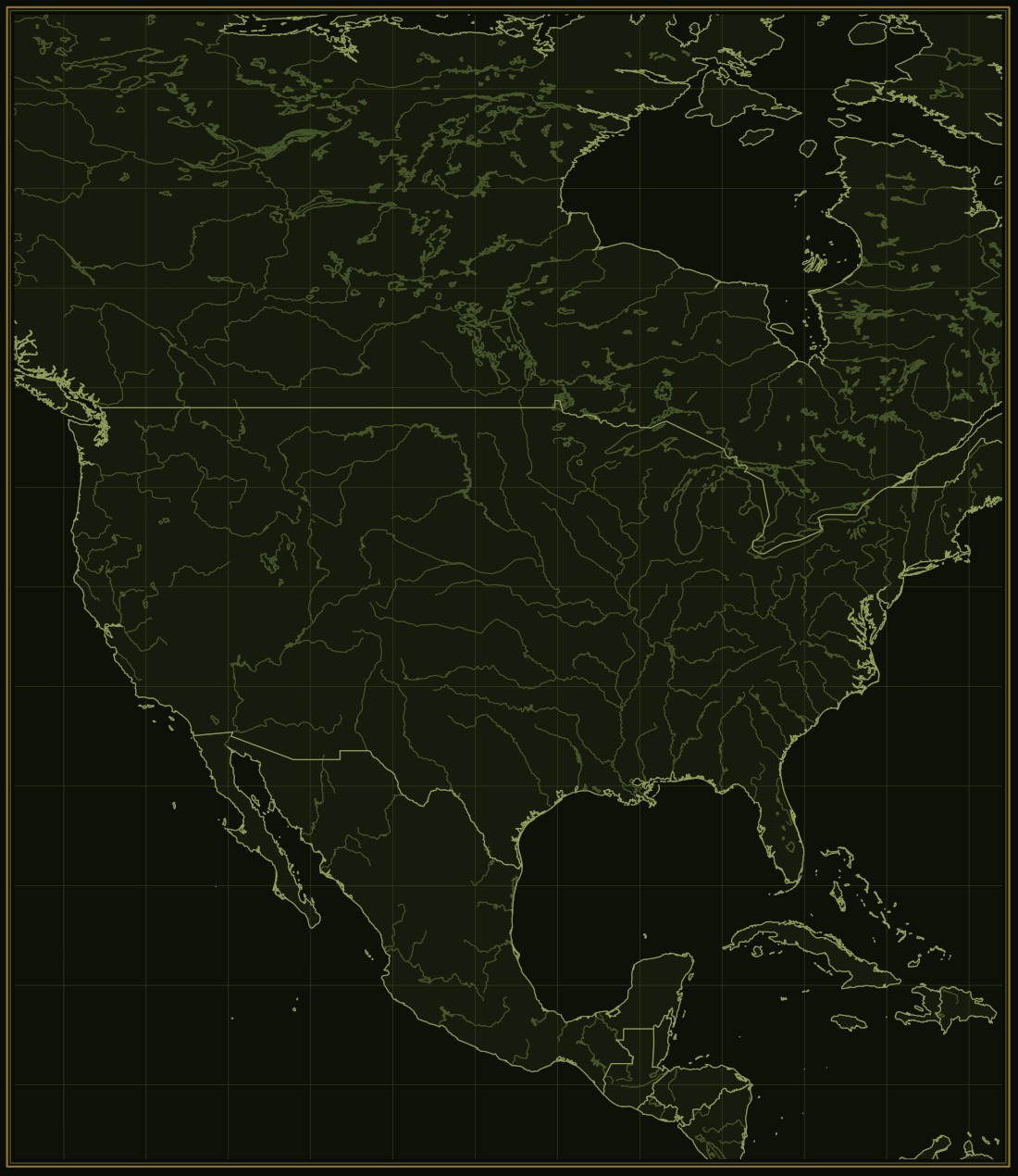
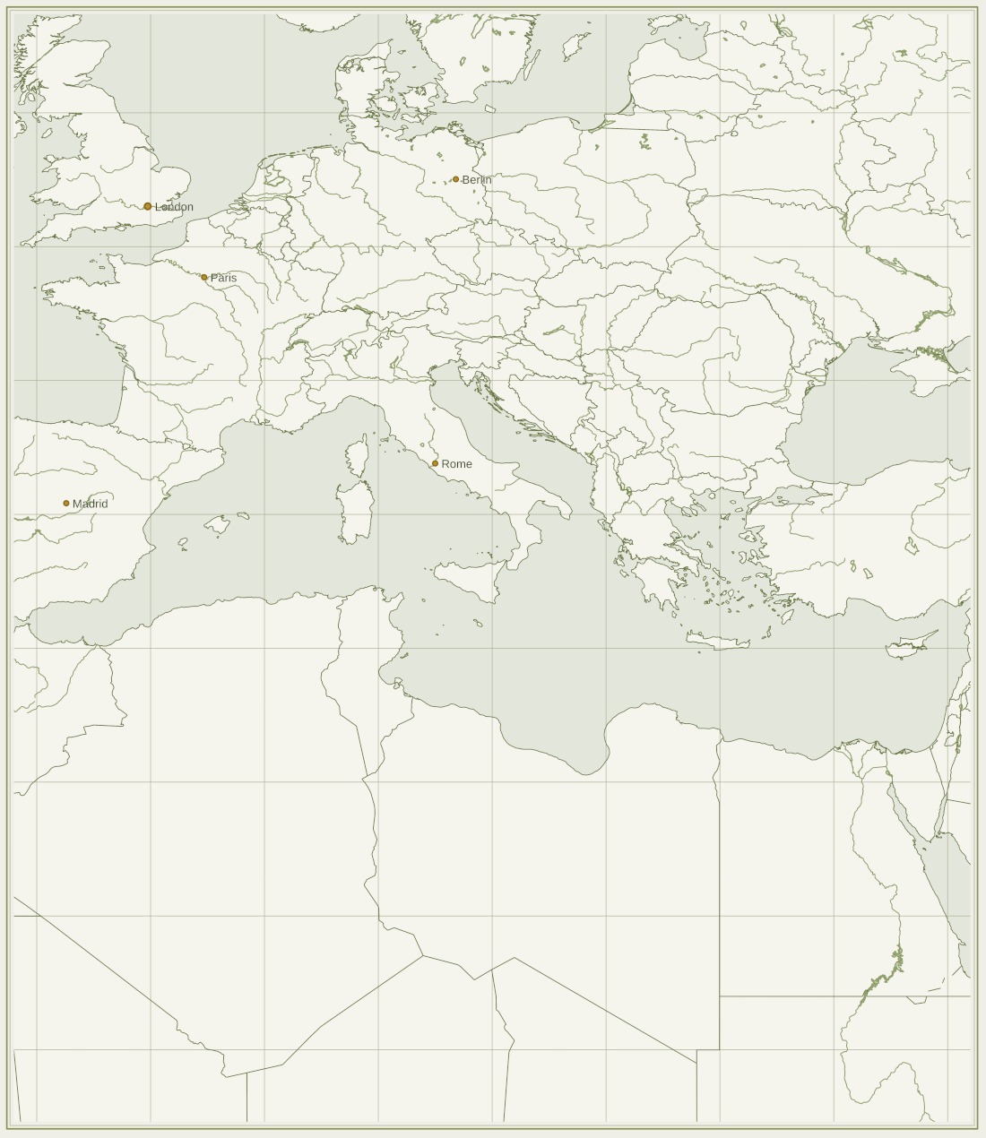
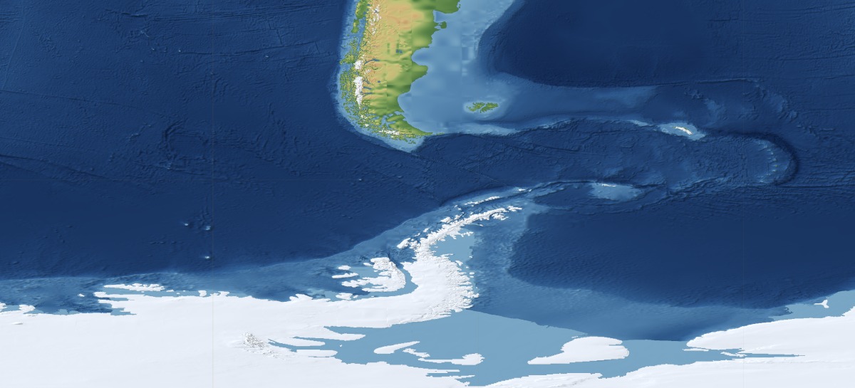
Most world maps stop at the waterline and fill the rest with flat blue. The sea bed is a measured surface like any other, so it is drawn like any other — and it holds the most dramatic terrain on the planet. These are cuts from the plate above at its own resolution, nothing sharpened and nothing retouched.
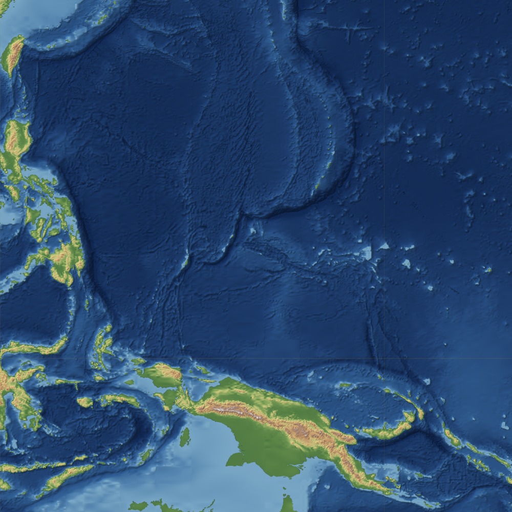
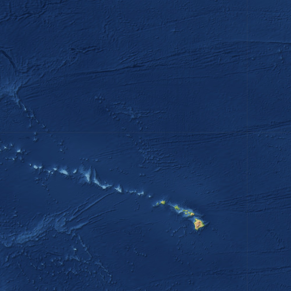
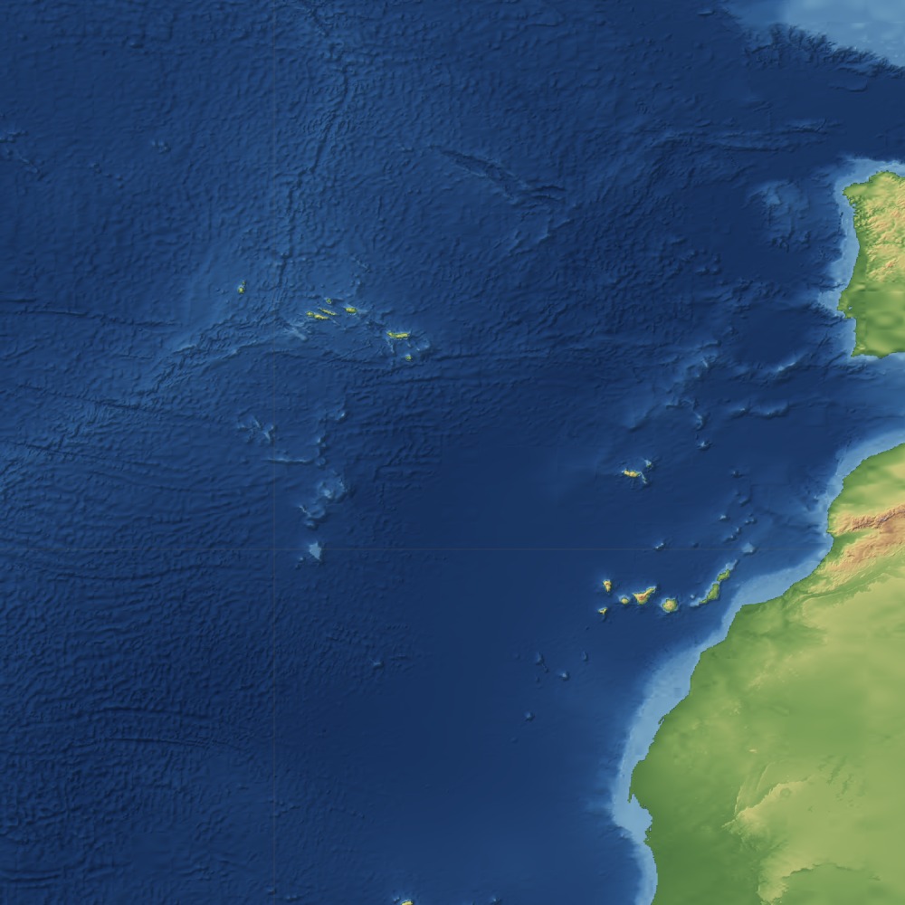
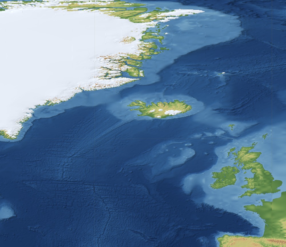
Everything measured further up this page can be drawn, and anything you leave out is simply not there.
Forthcoming
Height, sea bed, coast, rivers, borders present and historical, cities by population, time zone, named features, tides, climate normals — by point, by region or as a whole plate, and for other planetary surfaces too. It is the layer most people end up needing once “where” has to mean something more precise than a name.
Want the layers wired into a map you already publish, a survey tool or a planning system, or built into software of your own? Ask for that instead. And if you have looked at this and concluded it could not be done — not at that resolution, that extent or that volume — bring it here and let us give it a second thought.
Tell us what you are building API, integrations and bespoke software →